What’s the best way to drive to Grand Canyon?
It depends on where you’re driving from – and where you’re driving to.
Grand Canyon, South Rim
Most visitors drive to Grand Canyon’s South Rim. Open year-round, it’s the most famous and popular part of the national park. No matter how you drive to the South Rim, there are plenty of great sights along the way. (Detailed route descriptions below.)
Drive from Las Vegas: 4.5 hours, 275 miles (440 kms)
Drive from Phoenix: 4 hours, 225 miles (362 kms)
Drive from Flagstaff: 1.5 hours, 79 miles (127 kms)
Drive from Albuquerque: 6 hours, 412 miles (663 kms)
Grand Canyon, North Rim
Grand Canyon’s North Rim is more remote, and it’s only open half the year. The exact dates depend on winter snowfall. Most years the North Rim is open from mid-May to mid-October.
Many people prefer the North Rim for its relative lack of crowds. Although the drive there is a bit more desolate, there’s some terrific scenery along the way.
Drive from Las Vegas: 4.5 hours, 264 miles (424 kms)
Drive from Phoenix: 6.5 hours, 352 miles (566 kms)
Drive from Flagstaff: 4 hours, 208 miles (335 kms)
Drive from Albuquerque: 8 hours, 470 miles (756 kms)
Listed below are the best ways to drive to Grand Canyon’s South Rim and North Rim. All driving routes include popular sights and attractions along the way.
Discover the best
of Grand Canyon

Winner of two national travel guide awards.
Drive to Grand Canyon’s South Rim from Las Vegas
4.5 hours, 264 miles (424 kms)
Some folks drive two hours from Las Vegas to Grand Canyon West, which is operated by the Hualapai tribe. Grand Canyon West is famous for the Skywalk, a dramatic glass walkway perched several thousand feet above the Colorado River. It’s a convenient day trip, and the views are nice, but Grand Canyon West does not offer the famous views of Grand Canyon that you see in photos. For that you’ll need to drive an extra 2.5 hours to Grand Canyon Village on the South Rim, which is part of the national park.
From downtown Las Vegas follow I-515 South to US-93 South to Hoover Dam (45 minutes, 34 miles). Completed in 1936, Hoover Dam remains one of America’s most impressive structures. It’s definitely worth exiting US-93 to visit the dam. Guided tours are available, or you can stroll across the top of the dam and check out the views of Lake Mead.
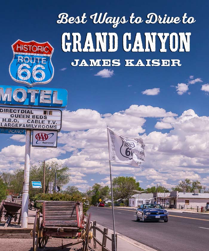
From Hoover Dam head east on US-93, crossing over the Colorado River into Arizona. Follow US-93 to the town of Kingman, then head east on I-40. Drive 73 miles (about an hour) and exit at the small town of Seligman. The real-life inspiration for the fictional town of Radiator Springs in the Pixar movie Cars, Seligman hangs on to its faded Route 66 heritage. Be sure to visit Delgadillo’s Snow Cap Drive-In, which has been serving burgers and practical jokes since 1953.
From Seligman drive 43 miles (45 minutes) to the town of Williams, Arizona. Like Seligman, Williams also has a small downtown celebrating it’s Route 66 heritage. But Williams is a bit fancier thanks to Grand Canyon tourist dollars. Williams is also the starting point of the Grand Canyon Railway, which makes daily trips to Grand Canyon’s South Rim.
From Williams drive north on US-180 for one hour (60 miles) to the South Entrance Ranger Station. Just south of the entrance you’ll pass through the small town of Tusayan, which is filled with hotels and restaurants catering to Grand Canyon tourists.
Drive to Grand Canyon’s South Rim from Phoenix
4 hours, 225 miles (362 kms)
From Phoenix drive north on I-17. After about 100 miles you’ll ascend the Mogollon Rim, which marks the southwest boundary of the Colorado Plateau – the dramatic high elevation landscape that covers much of the Four Corners region. As you ascend the Mogollon Rim you’ll pass from low elevation desert to high elevation ponderosa forest.
You can follow I-17 straight to Flagstaff, or you can take the scenic route through Sedona, which adds about 30 minutes to your trip. Sedona is a resort town surrounded by beautiful red rock formations. Popular activities include hiking, golfing, spa treatments and “finding yourself” — not necessarily in that order. To get to Sedona, turn off I-17 onto AZ-89A about 100 miles north of Phoenix. After passing through Sedona AZ-89A continues north and reconnects with I-17 just south of Flagstaff.
Drive to Grand Canyon’s South Rim from Flagstaff
1.5 hours, 79 miles (127 kms)
The best route from Flagstaff to Grand Canyon’s South Rim follows US-180 northwest to the South Entrance Ranger Station. Before you leave Flagstaff, however, be sure to visit the Lowell Observatory, where Pluto was discovered in 1930. Perched on a hill overlooking Flagstaff, this historic observatory is one of my favorite places to visit in northern Arizona.
From Flagstaff follow US-180 as it wraps around the western flank of the San Francisco Peaks, the tallest mountains in Arizona. Humphreys Peak rises 12,633 feet (3,851 meters) above sea level. The San Francisco Peaks have some great hiking trails, and in the winter you can ski the western slope of Humphreys Peak at the Arizona Snowbowl.
North of the San Francisco Peaks there are few notable attractions, other than beautiful open scenery. Turn right at the small town of Valle, marked by a large gas station, and drive 30 minutes (24 miles) to the South Entrance Ranger Station. Just south of the entrance you’ll pass the town of Tusayan, which is filled with hotels and restaurants catering to Grand Canyon tourists.

Drive to Grand Canyon’s South Rim from Albuquerque
6 hours, 412 miles (663 kms)
It’s a long drive to Grand Canyon’s South Rim from Albuquerque, but there are some great sights along the way. From Albuquerque drive west on I-40. About 40 miles west of the New Mexico/Arizona border you’ll reach Petrified Forest National Park. Home to an impressive collection of fossils, including petrified trees dating back over 200 million years, Petrified Forest also includes beautiful views of the Painted Desert.
Winslow Arizona, located 60 miles east of Flagstaff, is home Standin’ On A Corner Park. Fans of the Eagles song “Take it Easy” will appreciate the girl, my lord, in a flatbed Ford, slowing down to look at … a statue of a man with a guitar in Standin’ On A Corner Park.
Twenty miles west of Winslow lies Meteor Crater, a one-mile wide crater formed by a meteor impact 50,000 years ago. It is considered one of the best preserved meteor craters in the world. Located on private land, admission to Meteor Crater includes access to viewing platforms and the adjacent museum.
Drive to Grand Canyon’s North Rim from Las Vegas
4.5 hours, 264 miles (424 kms)
From Las Vegas it’s roughly the same distance to Grand Canyon’s North Rim or South Rim. As long as the North Rim is open (generally mid-May to mid-October), I recommend visiting the North Rim. You’ll enjoy stunning scenery and great hiking trails with a fraction of the crowds.
Drive 120 miles northeast from Las Vegas along I-15. When you reach St. George, Utah turn east onto UT-59/AZ-389. You’ll soon cross the Utah/Arizona border and enter the Arizona Strip, the desolate region north of Grand Canyon in Arizona. The Arizona Strip is one of the least densely populated places in the continental United States. But what it lacks in population, it makes up for in scenic beauty.
Continue along AZ-389 to the town of Fredonia, then drive southwest on US-89-A. As the road ascends the Kaibab Plateau – the high elevation region home to Grand Canyon’s North Rim – ponderosa forests will start to dominate the scenery. In the small town of Jacob Lake turn south onto AZ-67, which heads 31 miles south to the North Rim Entrance Station.
As you drive higher and higher, you’ll pass through forests of spruce, fir and aspen. In the fall, when the aspen leaves turn golden, this area is stunning. There are also some lovely meadows along the way. Keep your eyes out for bison as you approach the North Rim Entrance Station. Although not native to the region, the bison were brought to the North Rim in the early 1900s by a man named “Buffalo Jones,” and their descendants have roamed the area ever since.
Drive to Grand Canyon’s North Rim from Flagstaff
4 hours, 208 miles (335 kms)
From Flagstaff drive 53 miles north on US-89 to the small town of Cameron, home to the Cameron Trading Post. Open since 1916, the Cameron Trading Post features a large store filled with Western and Native crafts and a charming restaurant (try the Navajo Tacos). The real highlight, however, is the adjacent gallery filled with historic Hopi pottery, Navajo rugs and other native crafts. Some items have price tags north of $1,000.
Continue driving north on US-89. Just past the Cameron Trading Post you’ll cross the Little Colorado River, the Grand Canyon’s largest tributary. The land on either side of the highway is part of the Navajo Indian Reservation – the largest reservation in the United States. The scenery is desolate and beautiful – particularly in the early morning or late afternoon.
When you reach the tiny town of Bitter Springs, follow US-89A north to drive to Grand Canyon’s North Rim. US-89 veers northeast to Glen Canyon Dam, which is definitely worth a visit. It’s about a 30 minute drive from Bitter Springs. After visiting the dam and checking out Lake Powell, retrace your route and drive north on US-89A.
About 14 miles north of Bitter Springs you’ll cross Navajo Bridge, which spans the Colorado River above Marble Canyon. The bridge is 900 feet long and is perched 470 feet above the Colorado River. It’s worth stopping at the visitor center located on the west side of the river. There’s a footbridge you can walk across to admire the scenery. If you’re lucky you’ll see a rafting trip float by.
From Navajo Bridge continue west along US-89A. To the right the beautiful Vermillion Cliffs tower above. The the left the desolate landscape stretches out to the rim of Grand Canyon. Soon the road ascends the Kaibab Plateau – the high elevation region home to Grand Canyon’s North Rim – ponderosa forests will start to dominate the scenery. In the small town of Jacob Lake turn south onto AZ-67, which heads 31 miles south to the North Rim Entrance Station.
As you drive higher and higher, you’ll pass through forests of spruce, fir and aspen. In the fall, when the aspen leaves turn golden, this area is stunning. There are also some lovely meadows along the way. Keep your eyes out for bison as you approach the North Rim Entrance Station. Although not native to the region, the bison were brought to the North Rim in the early 1900s by a man named “Buffalo Jones,” and their descendants have roamed the area ever since.
Discover the best
of Grand Canyon
Winner of two national travel guide awards.